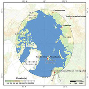
简介:北极地区是对气候变化最为敏感的地区之一,长期以来受到了气候变化研究的极大关注。尽管最近一段时间,全球暖化出现了一定程度的减缓甚至停滞的迹象,但北极地区的气候变化在过去几十年间却出现了明显的加速:一方面北极夏秋季的海冰覆盖正在加速融化(如图1),北极海冰覆盖面积历史低值被不断刷新,2012年九月份的海冰覆盖面积仅相当于1979到2000年多年平均海冰面积的51%,相对于上世纪八十年代初,已经有超过一半的海冰在夏天消失了,2002-2011年间海冰面积减少速度是1979-2006年间减少速度的两倍还多...
发布时间:2022-03-10
数据集:65
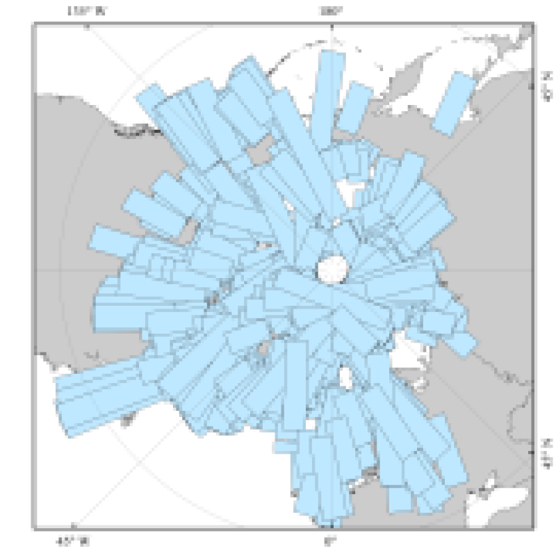
该数据为2005年格陵兰岛地区ENVISAT-1卫星ASAR传感器获取的Wide Swath模式Level 1B级SAR数据,幅宽400km,空间分辨率为75m,绝对定位精度约为200米。 该SAR数据在存储时都是以时间增长为序的方式存储的,这使的下行轨道的图象为左右镜象,而上行轨道的图象为上下镜象。 该数据的命名规则如下例所示: ASA_IMS_1PPIPA 20050402_095556_000000162036_00065_16151_0388.N1 ASA: 产品标识,ASAR传感器 IMS: 数据的接收、处理信息(成像模式,如WS,WSS,IM,...) 1PPIPA:订制的编号 20050402: 数据获取的时间(UTC时间) 095556:地理位置(开始、结束) 000000162036:卫星轨道信息 00065:产品信任数据 16151:产品大小、结构信息 0388 => 校验码
2018-02-13 2774 查看详情
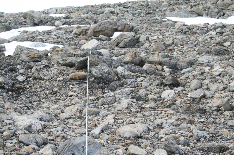
南北极细菌分布数据集提供了南北极细菌分布特征。样品采集时间为13/12/2005至8/12/2006,包含北极3个地区52个样品(Spitsbergen Slijeringa,Spitsbergen Vestpynten,及Alexandra Fjord_Highlands),南极5个地区171个样品(Mitchell Peninsula,Casey station main power house,Robinsons Ridge,Herring Island,Browning Peninsula)。土壤表层样品采集后用液氮保存,运回悉尼实验室,通过FastPrep DNA试剂盒提取。提取后的DNA样品使用27F (5'-GAGTTTGATCNTGGCTCA-3' and 519R (5'-GTNTTACNGCGGCKGCTG-3')扩增16S rRNA基因片段。扩增后的片段通过454方式测序,原始数据通过Mothur软件分析。首先去除测序质量不佳序列,之后进行排序并去除嵌合体序列。之后计算序列之间相似度,相似度在97%以上的序列聚类为一个OTU,并定义OTU代表序列。OTU代表序列通过与Silva数据库进行比对,在可靠性大于>80%的情况下鉴定到属一级水平。本数据系统的比较了南极东部以及北极微生物的多样性,对研究微生物在南北极的分布具有重大意义。
2018-02-13 2902 查看详情
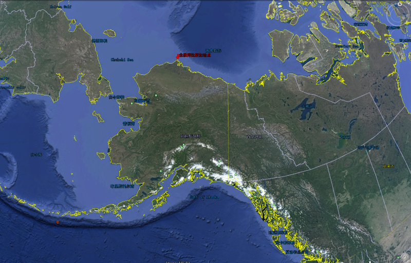
北极阿拉斯加站点气溶胶光学厚度数据是基于美国能源部大气辐射观测计划在北极阿拉斯加站点的观测数据产品而形成,数据覆盖时间从1998年到2016年,时间分辨率为逐小时,覆盖站点为北极阿拉斯加站点,经纬度坐标为(71°19′22.8″N, 156°36′32.4″ W)。观测数据来源为MFRSR仪器观测的辐射数据反演获得,所包含光学特征变量为气溶胶光学厚度,观测反演误差范围约为15%。数据格式为nc格式。
2018-02-13 4054 查看详情

南北极冰盖冻融数据集采用微波辐射计和微波散射计两种数据获取。微波辐射计数据覆盖时间从1978年到2015年,空间分辨率为25 km;微波散射计数据覆盖时间从2000年到2015年,空间分辨率为4.45km.时间分辨率为逐日,覆盖范围为南北极冰盖。基于微波辐射计的遥感反演方法采用改进的基于小波冰盖冻融探测算法,算法考虑冰盖冻融亮温特性在时间上的变化,首先利用小波变换对格陵兰所有冰盖区域的长时间亮度温度数据进行小波多尺度分解,在不同尺度下对边缘信息进行分析。再次,采用方差分析的方法将冰盖融化和重新冻结过程产生的边缘信息从噪声中分离出来。基于已提取的冰盖长时间亮度温度变化边缘信息,利用广义高斯模型来确定干雪和湿雪分类的最优边缘阈值, 从而探测出格陵兰冰盖发生融化的区域。最后,基于空间自动纠错的原理,运用空间邻域纠错算子对由噪音引起的错误结果进行探测,并进行人工纠错。长时间序列星载被动微波亮度温度数据来自SMMR、SSM/I和SSMI/S三个传感器。为保证不同传感器亮度温度在时间上的一致性,在冻融提取之前对不同传感器亮度温度进行了交叉订正。通过实测站点的验证表明格陵兰冰盖冻融探测精度在70%以上。基于微波辐射计的遥感反演方法考虑积雪特性在时空和空间上的变化,首先提取散射计数据的DVPR时间序列数据,有效利用散射计数据的高时间分辨率,同时利用通道差去除地形带来的影响;随后利用广义高斯模型对每一个采样点时间序列的方差值进行拟,以此来区分出干湿雪点,即确定融化范围,这种广义高斯模型相比于传统的双高斯模型需要的输入参数少,得到的阈值也具有唯一性;最后利用移动窗分割算法来精确找到湿雪点的融化开始时间、 结束时间以及持续时间, 可以有效地去除融化或非融化时期的温度突变所带来的影响。长时间序列星载微波散射计数据来自QSCAT和ASCAT两个传感器。通过实测站点的验证表明南极冰盖冻融探测精度在70%以上。数据每一天存放一个bin文件,基于微波辐射计的南极冻融数据每个文件由316*332的栅格组成,格陵兰冰盖冻融数据每个文件由304*448的栅格组成;基于微波散射计的南极冻融数据每个文件由810*680的栅格组成,格陵兰冰盖冻融数据每个文件由810*680的栅格组成(0值:非融化区域,1值:融化区域)。
2018-02-13 3597 查看详情
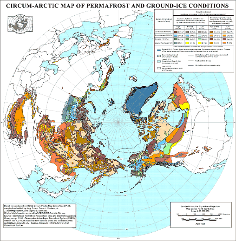
数据集包括: 1、permaice(冻土类型图) 2、subsea(海底界线矢量图)3、treeline(林线矢量图)4、nhipa(栅格图)5、llipa(栅格图) Permaice包括属性字段:Num_code(冻土属性编码) Combo(冻土属性)extent(冻土范围)content(含冰量) 属性对照如下:(1)冻土属性对照表: 0 (No information ) 1 - chf (Continuous permafrost extent with high ground ice content and thick overburden) 2 - dhf (Discontinuous permafrost extent with high ground ice content and thick overburden ) 3 - shf (Sporadic permafrost extent with high ground ice content and thick overburden ) 4 - ihf (Isolated patches of permafrost extent with high ground ice content and thick overburden ) 5 - cmf (Continuous permafrost extent with medium ground ice content and thick overburden ) 6 - dmf (Discontinuous permafrost extent with medium ground ice content and thick overburden ) 7 - smf (Sporadic permafrost extent with medium ground ice content and thick overburden ) 8 - imf (Isolated patches of permafrost extent with medium ground ice content and thick overburden) 9 - clf (Continuous permafrost extent with low ground ice content and thick overburden ) 10 - dlf (Discontinuous permafrost extent with low ground ice content and thick overburden ) 11 - slf (Sporadic permafrost extent with low ground ice content and thick overburden ) 12 - ilf (Isolated patches of permafrost extent with low ground ice content and thick overburden) 13 - chr (Continuous permafrost extent with high ground ice content and thin overburden and exposed bedrock ) 14 - dhr (Discontinuous permafrost extent with high ground ice content and thin overburden and exposed bedrock ) 15 - shr (Sporadic permafrost extent with high ground ice content and thin overburden and exposed bedrock ) 16 - ihr (Isolated patches of permafrost extent with high ground ice content and thin overburden and exposed bedrock) 17 - clr (Continuous permafrost extent with low ground ice content and thin overburden and exposed bedrock ) 18 - dlr (Discontinuous permafrost extent with low ground ice content and thin overburden and exposed bedrock ) 19 - slr (Sporadic permafrost extent with low ground ice content and thin overburden and exposed bedrock) 20 - ilr (Isolated patches of permafrost extent with low ground ice content and thin overburden and exposed bedrock ) 21 - g (Glaciers) 22 - r (Relict permafrost) 23 - l (Inland lakes ) 24 - o (Ocean/inland seas ) 25 - ld (Land) (2)冻土范围对照表 c = continuous (90-100%) d = discontinuous (50- 90%) s = sporadic (10- 50%) i = isolated patches ( 0 - 10%) (3)含冰量对照表 h = high (>20% for "f" landform codes) (>10% for "r" landform codes) m = medium (10-20%) l = low (0-10%) ------------------------------------------------------------ Projection of the shapefiles is: PROJCS["Sphere_ARC_INFO_Lambert_Azimuthal_Equal_Area", GEOGCS["GCS_Sphere_ARC_INFO", DATUM["Sphere_ARC_INFO", SPHEROID["Sphere_ARC_INFO",6370997.0,0.0]], PRIMEM["Greenwich",0.0], UNIT["Degree",0.0174532925199433]], PROJECTION["Lambert_Azimuthal_Equal_Area"], PARAMETER["False_Easting",0.0], PARAMETER["False_Northing",0.0], PARAMETER["longitude_of_center",180.0], PARAMETER["latitude_of_center",90.0], UNIT["Meter",1.0]] Projection for the raster (*.byte) files is: Projection: Lambert Azimuthal Units: meters Spheroid: defined Major Axis: 6371228.00000 Minor Axis: 6371228.000 Parameters: radius of the sphere of reference: 6371228.00000 longitude of center of projection: 0 latitude of center of projection: 90 false easting (meters): 0.00000 false northing (meters): 0.00000
2011-09-05 42946 查看详情
联系方式
关注我们

时空三极环境大数据平台 © 2018-2020 陇ICP备05000491号 | All Rights Reserved
|  京公网安备11010502040845号
数据中心技术支持: 数云软件